ApexMaps Demos
Browse all ApexMaps sample demos. Click any thumbnail to see the live demo and source code.
Map series
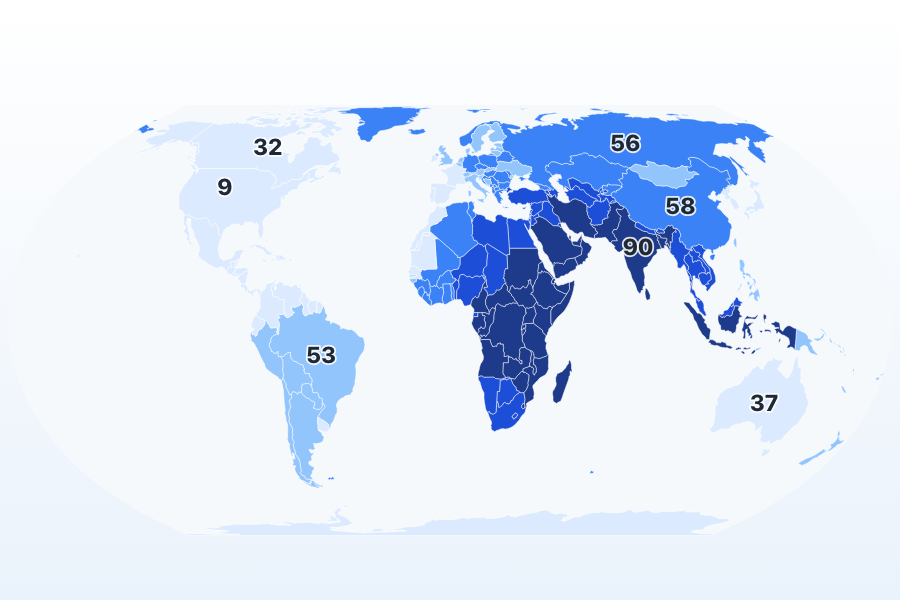
Choropleth Defaults
Two option keys, no styling: Equal Earth projection, quantile classification, and a computed legend.
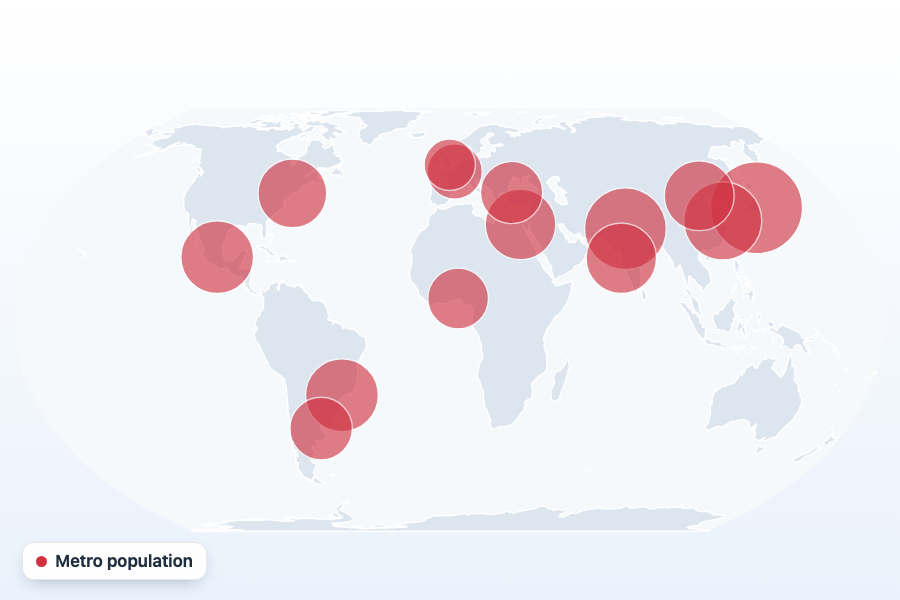
Bubbles
Square-root versus linear proportional-symbol sizing, plus a second color encoding.
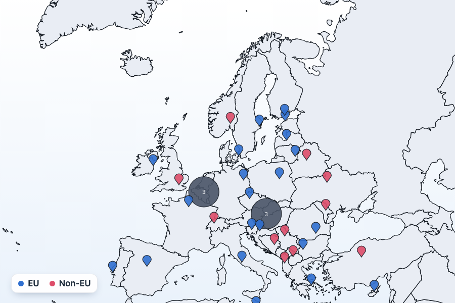
Markers & Clustering
Seven marker shapes with categorical color; clustering requires a Premium license.
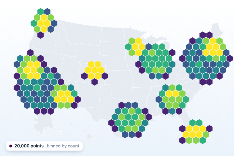
Hexbin
20,000 points binned onto a screen-space lattice, against the cost of drawing every one; a Premium feature.
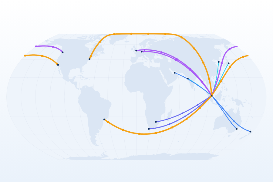
Arcs
Great-circle connections with antimeridian cutting, curvature, and directional flow beads.
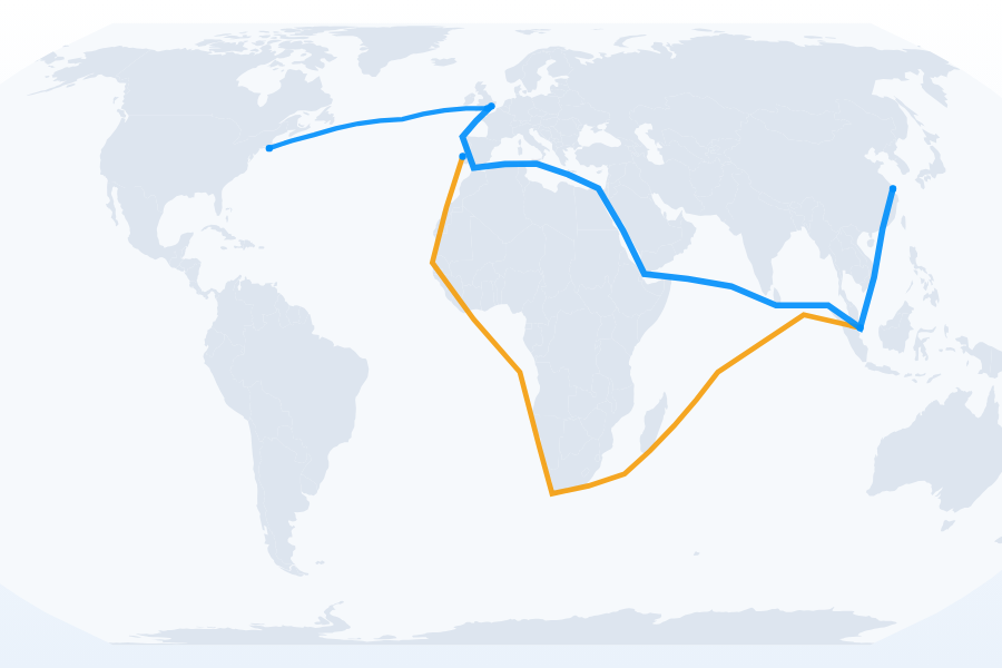
Routes
The line series draws routes through a given sequence of vertices.
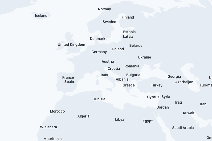
Basemap
Geometry with no data series, plus automatic label collision handling.
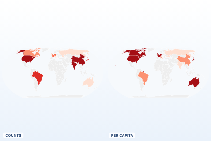
Normalize
Counts versus rates on the same choropleth, side by side.
Geometry & projections
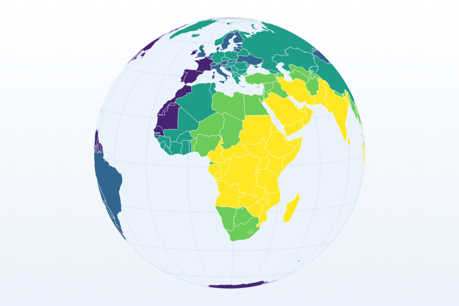
Projections
Eight of the 13 built-in projections, spec objects, and rotation.
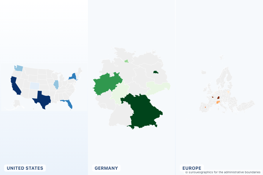
Geometry Registry
Three built-in geometry packs with zero configuration, plus the full catalogue.
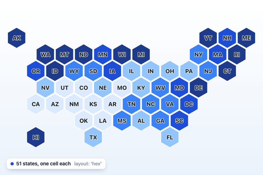
Hex Tile Map
One equal cell per region, the morph back to real boundaries, and all seven built-in layouts; a Premium feature.
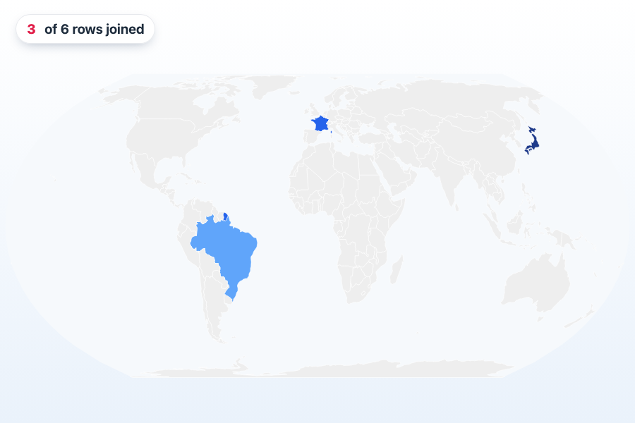
Joins
A failing data-to-geometry join explained with suggestions, then repaired.
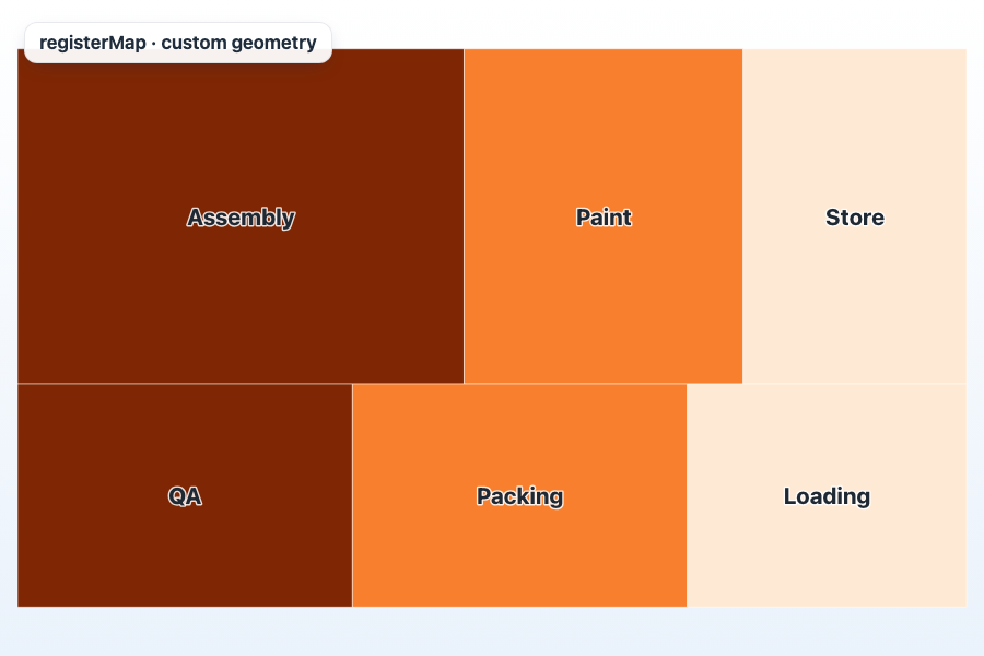
Extending
registerMap with a custom floor plan, registerPalette, and a custom geo loader.
Scales, palettes & theming
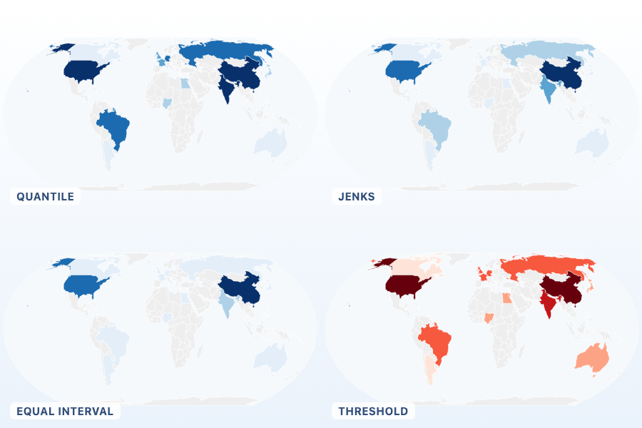
Scales & Classification
Quantile, Jenks, equal interval, and threshold classification on one skewed dataset.
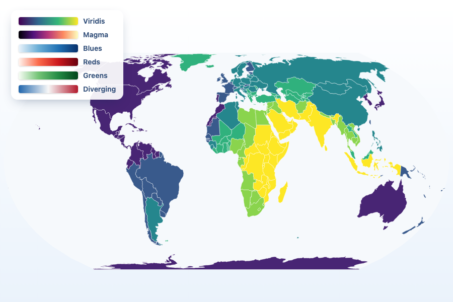
Palettes
All 17 OkLab-sampled ramps, and the automatic diverging-palette choice.
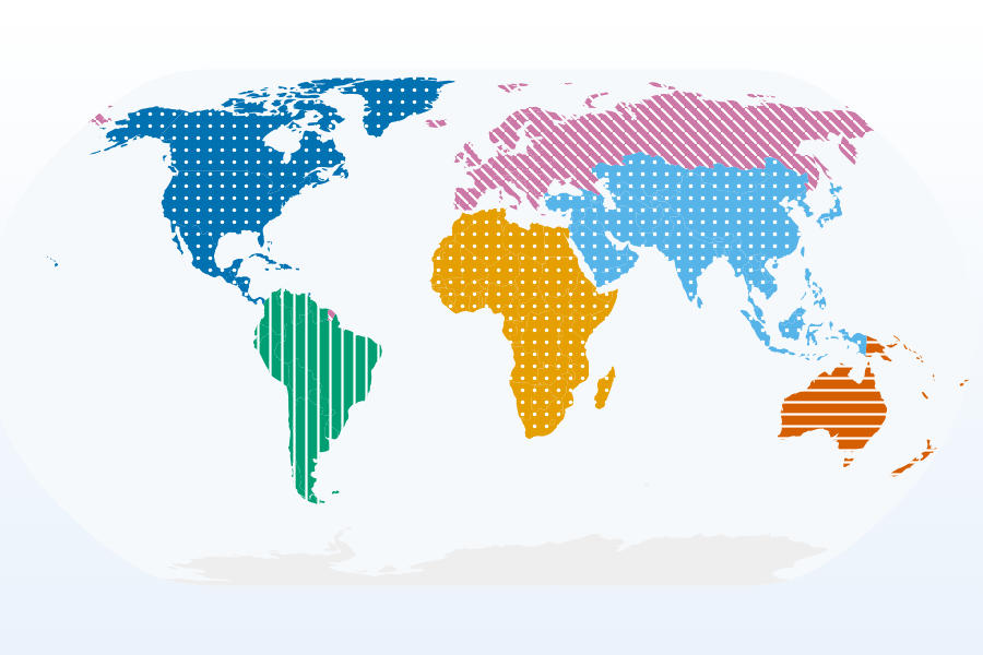
Pattern Fills
Eight textures laid over the color a scale chose, for print, color-vision safety, and qualitative maps; a Premium feature.
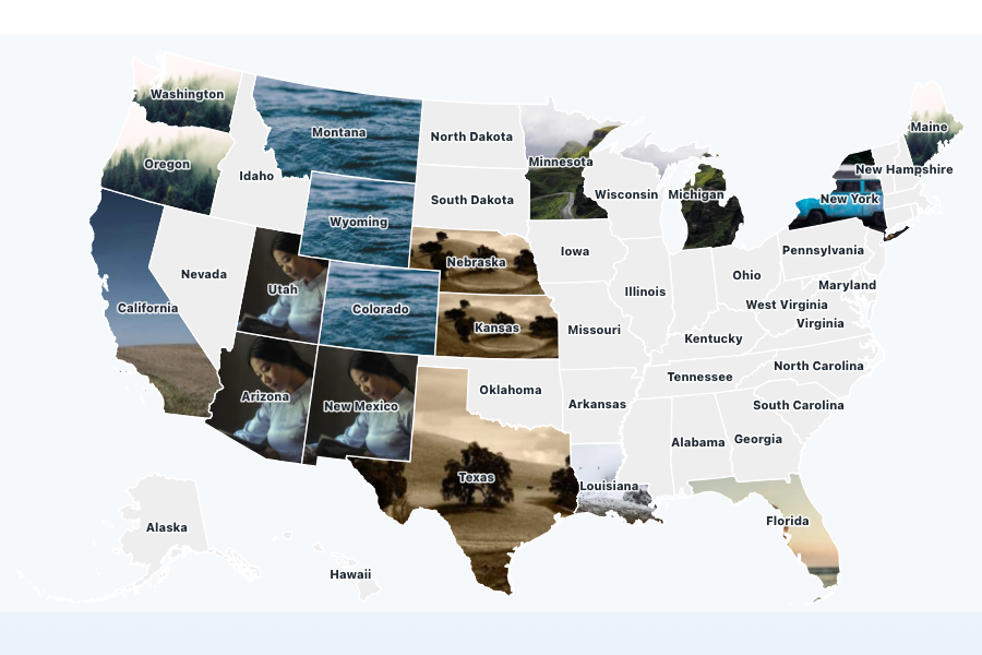
Image Fills
Clip a picture to the outline of each region, a flag or a satellite tile per feature; a Premium feature.
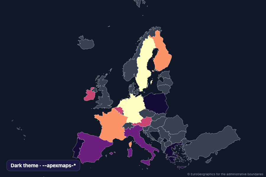
Theming
Dark mode, CSS custom properties, and responsive rules.
Interaction & camera
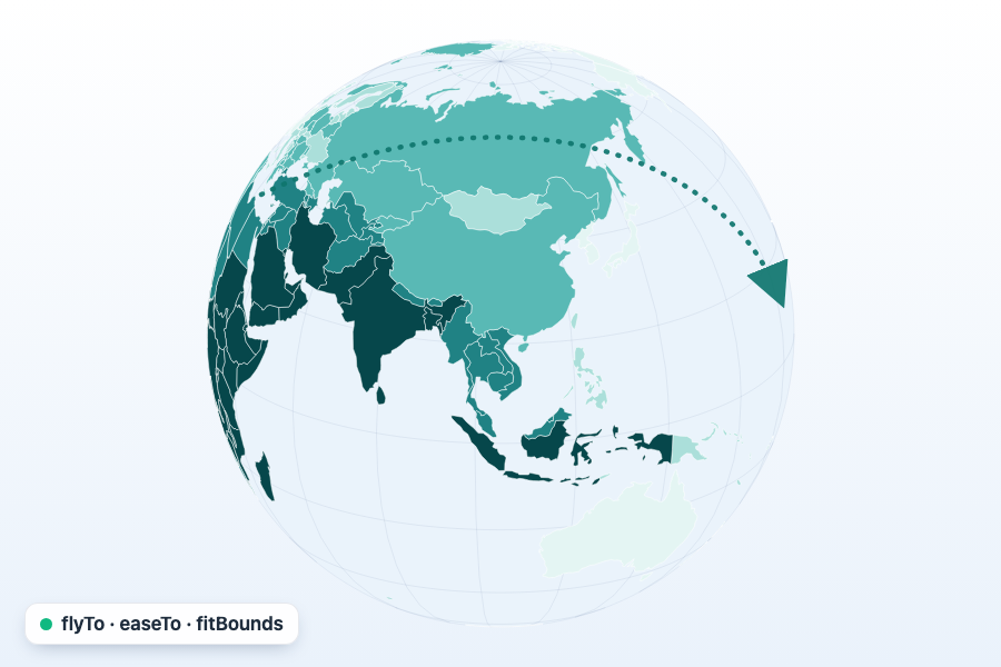
Camera
flyTo, easeTo, fitBounds, and interrupting one camera move with another.
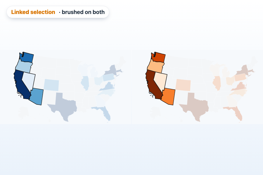
Selection & Linked Maps
Box selection brushing a linked pair of maps; map linking requires a Premium license.
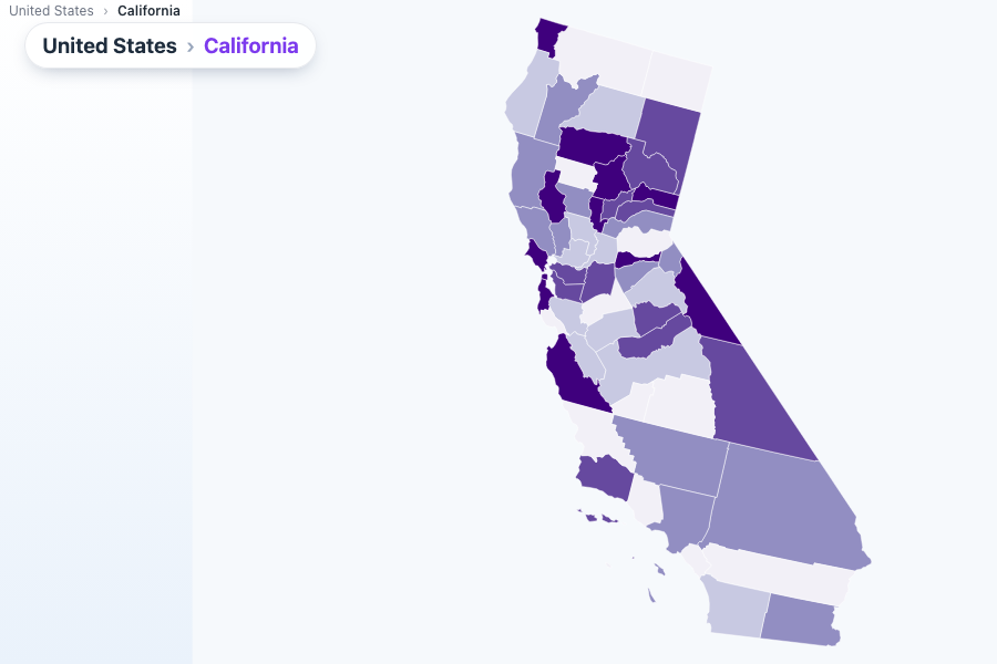
Drilldown
States into counties, and back out again, with an automatic breadcrumb.
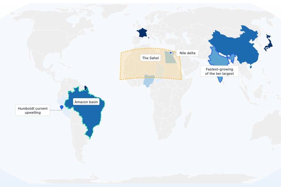
Annotations
Editorial callouts and highlights placed directly on the map.