ApexMaps
Put your data on a map, geography included
Choropleths, bubbles, markers and routes over 26 built-in geometry packs, so you are never the one finding, converting, or hosting boundary files.
Works with




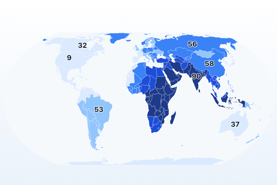
Two Keys, One Publishable Map
Pass a geometry pack and a data join and ApexMaps decides the rest: Equal Earth projection, quantile classification, an OkLab-sampled ramp, and a legend with real break values, all meant to be shipped as-is.
See it liveBubbles for Magnitude, Markers for Place
Proportional-symbol bubbles scale by area for absolute values; markers stay a fixed size because a marker just says something is here. Seven shapes, categorical color, and a legend that matches what each series actually encodes.
See it live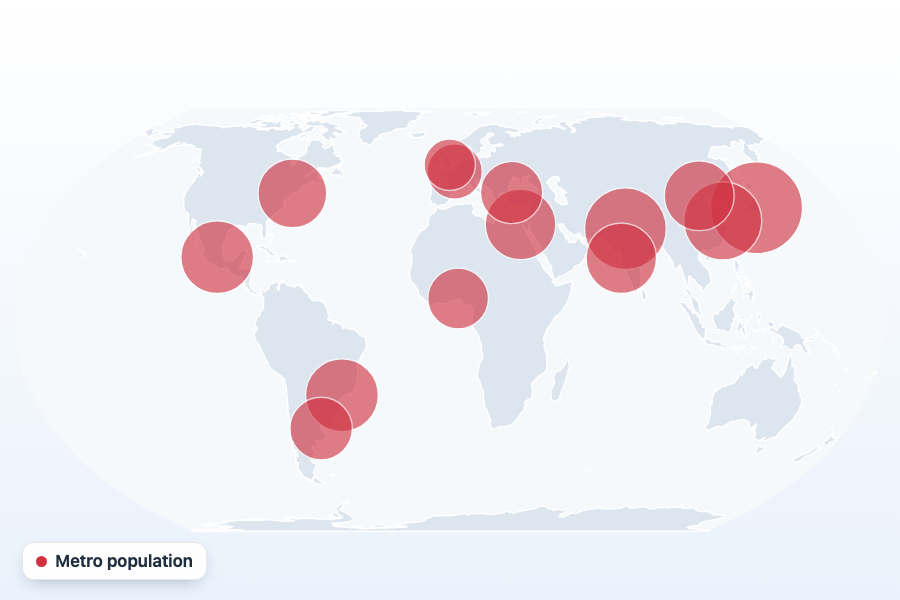
Hex Tile Maps That Morph BackPremium
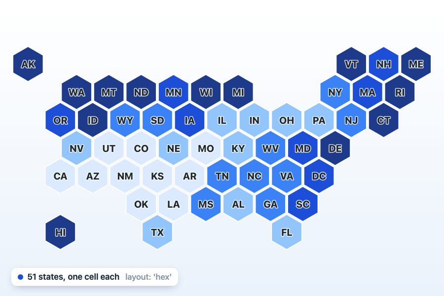
Real boundaries carry an argument nobody chose: area. A hex tile layout gives every region one equal cell, so the smallest unit is as legible as the largest, and toggling it morphs region by region so a reader can see which cell is which place. Seven layouts ship, each keyed the way its boundary pack is keyed.
See it liveArcs and RoutesPremium
Geodesic great-circle connections with antimeridian cutting, for routes, cables, trade, and migration flows. A straight line on a projected map is neither the true path nor the true distance.
See it live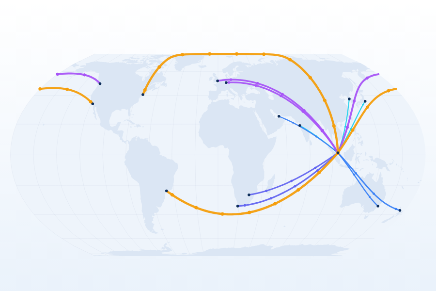
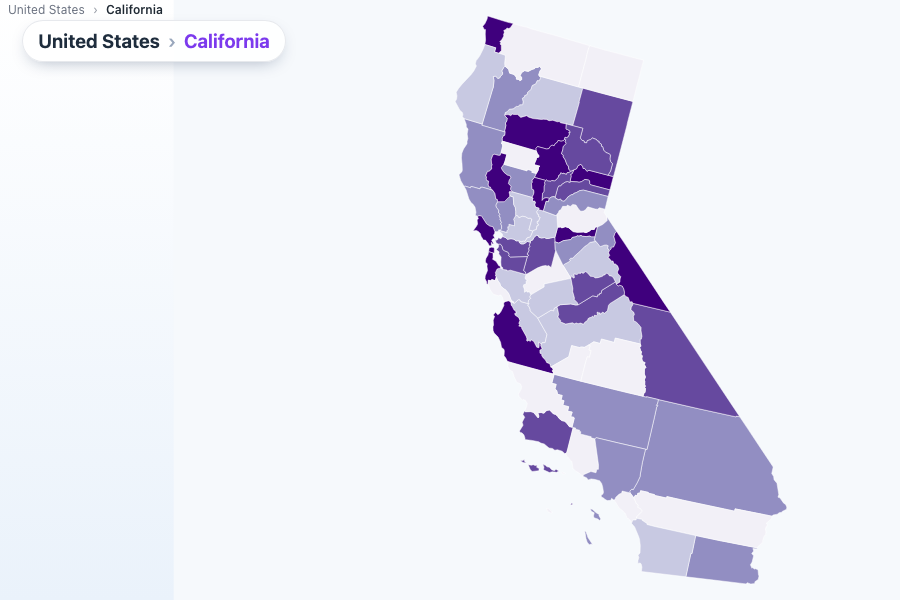
Drilldown, Scoped to the ClickPremium
Click a state, get its counties, restricted to the one that was clicked. Parent geometry is detected automatically, with a breadcrumb and keyboard access in and out.
See it livePoint Clustering That Merges by DistancePremium
Dense marker sets resolve into clusters sized by member count, merged by real screen distance rather than a grid cell, so two nearby points never separate just because they straddle a boundary.
See it live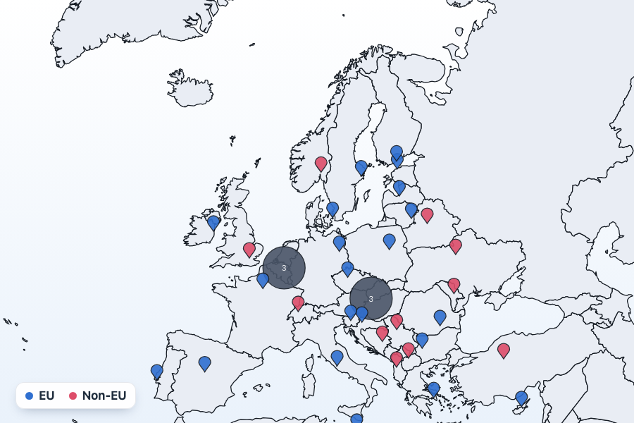
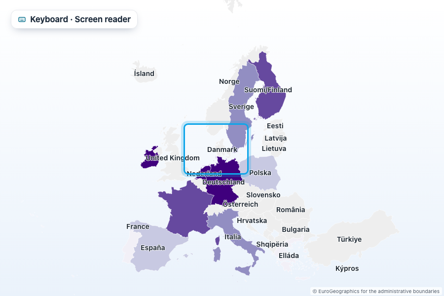
Accessible in Every Plan
ARIA roles, an auto-generated description, roving-tabindex keyboard navigation, and an optional data table, on by default and never gated behind a license.
See it live26 geometry packs
World, US, EU NUTS and 15 countries’ admin-1 boundaries, fetched lazily with provenance attached.
Framework-agnostic core
A typed core package plus React, Vue and Angular wrappers built for each framework’s own change model.
Designed defaults
Equal Earth projection, OkLab-sampled ramps and quantile classification chosen so the default is defensible, not just neutral.
Accessible by default
Keyboard navigation and screen-reader support are included in every plan, permanently.
What's new
ApexMaps is at 1.0.1. Install it with npm i apexmaps.
Ready to put your data on a map?
Start building with ApexMaps today.
Explore Demos